Revolutionising Remote Sensing with AI
Introduction
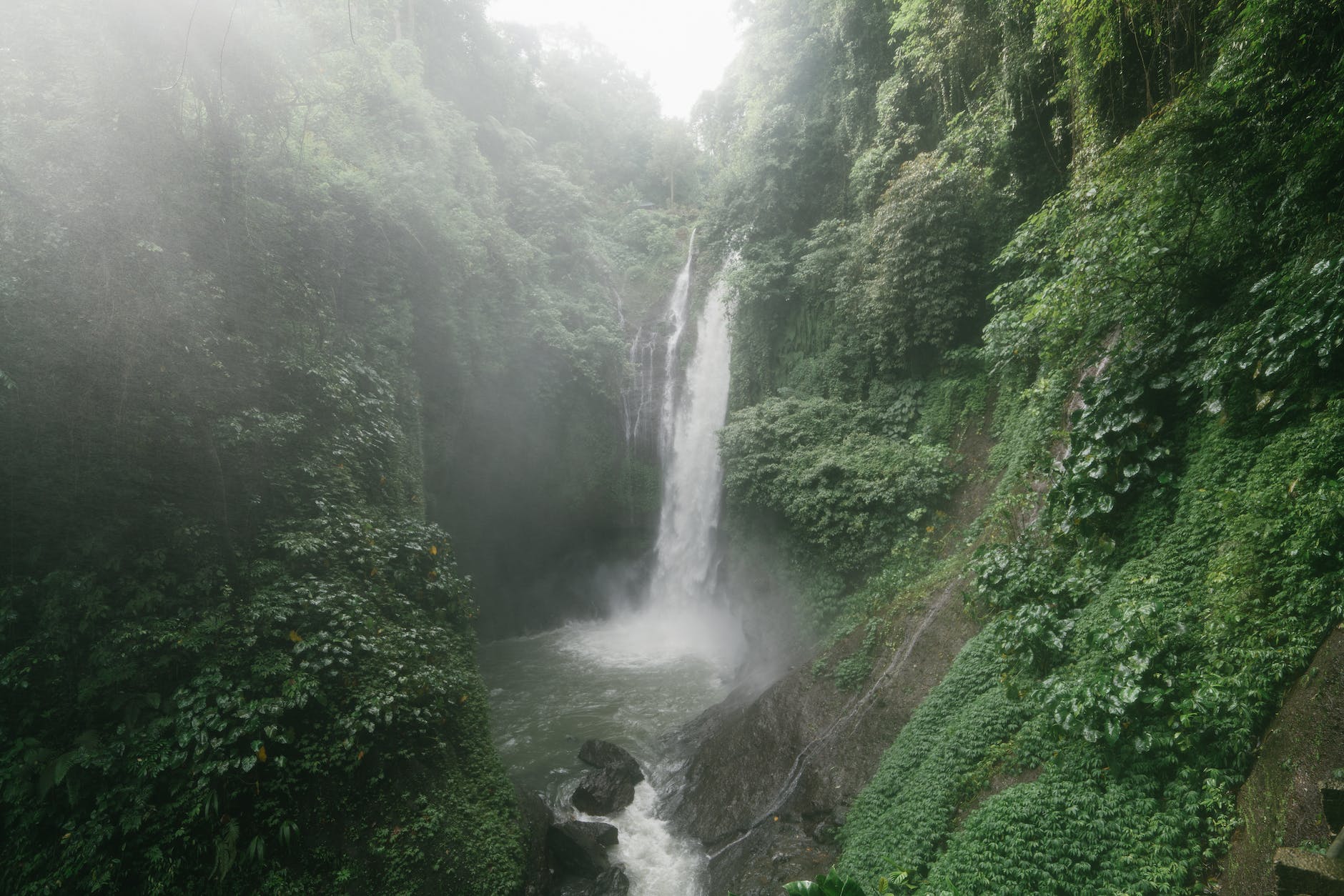
Remote sensing has been an essential tool for scientists, researchers, and governments for decades. It involves capturing data from a distance, using sensors and cameras mounted on satellites, drones, or aircraft. This data is then used to study and monitor the Earth’s surface, atmosphere, and oceans. Remote sensing has been used to track climate change, monitor natural disasters, and map the Earth’s resources.
However, traditional remote sensing methods have their limitations. They are often expensive, time-consuming, and require a lot of manual processing. This is where AI comes in. AI has the potential to revolutionise remote sensing capture and the way we see the world.
How AI is transforming remote sensing
AI can help automate the process of remote sensing, making it faster, cheaper, and more accurate. For example, AI algorithms can be trained to identify and classify different types of land cover, such as forests, crops, and urban areas, from satellite images. This can help monitor deforestation, crop yields, and urbanisation.
AI can also help improve the resolution of remote sensing data. By using machine learning algorithms, researchers can enhance the quality of satellite images, making them clearer and more detailed. This can help identify features such as roads, buildings, and infrastructure, which can be useful for urban planning and disaster response.
The future of remote sensing with AI
The potential applications of AI in remote sensing are vast. For example, AI can be used to monitor the health of crops and forests, detect changes in sea level and ocean currents, and track the movement of wildlife. AI can also be used to monitor air quality and pollution levels in cities, helping to improve public health.
As AI technology continues to evolve, we can expect to see even more innovative applications of remote sensing. For example, AI-powered drones could be used to monitor wildlife populations in real-time, or to detect and respond to natural disasters more quickly.
Conclusion
AI is transforming the field of remote sensing, making it faster, cheaper, and more accurate. With the help of AI, we can monitor and understand our planet in ways that were previously impossible. As the technology continues to evolve, we can expect to see even more exciting applications of remote sensing in the future.